Introduction
● | Satellites →
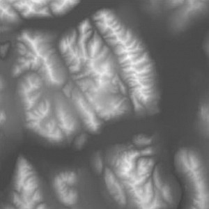
A virtual terrain is made up from two components, a height field or digitial elevation map (DEM), which defines the contour of the terrain in 3D space, and an orthophoto, which describes the texture of the terrain as a satellite sees it.
Due to various reasons the two components ususally come as a heterogeneous collection of data pieces from various sources with different spatial resolution, coordinate representations and data formats.
Before the data collection can be visualized in 3D as a whole, all its pieces need to be transferred in a common spatial data representation. This process is called resampling.
This tutorial covers the process of resampling data for the main island of Hawaii, Oahu, by using the tools of the open-source library libGrid. It produces a data set, or tile set, which can be visualized with the open-source library libMini.
● | Satellites →

