LibGrid


Resumee
← NDVI Example | ●
With libGrid we are able to process satellite data to look natural. We can also create tilesets to be viewed in 3D. For that purpose, the data is visualized with the QTViewer of libMini.
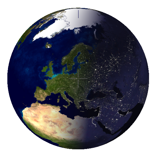
Upon startup, the QTViewer displays the entire earth:

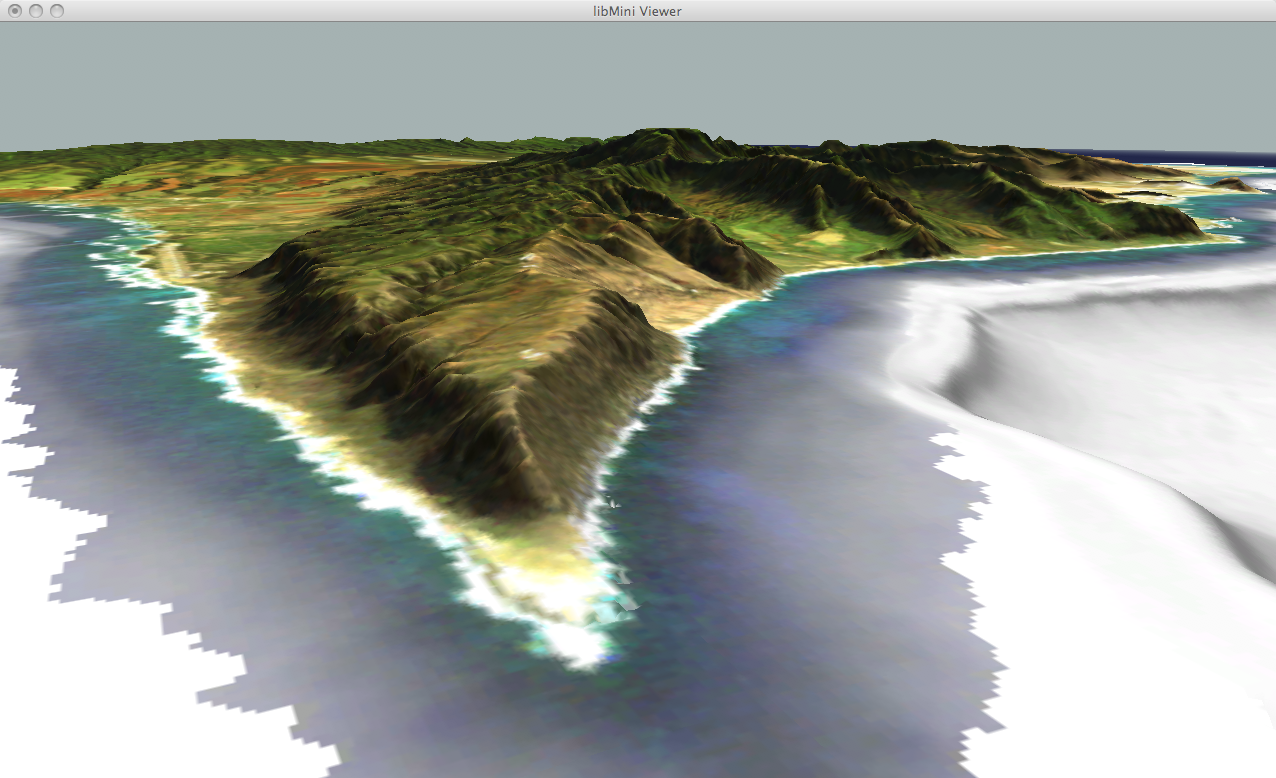
After loading a tileset, we can zoom into the corresponding area of interest:

The above Oahu Tileset is available at the tile set section.
← NDVI Example | ●