Data


Global Landsat Data

Landsat 7 Enhanced Thematic Mapper (ETM+)
- Worldwide imagery from near infrared to blue wave lengths at 30m resolution
- Landsat 7 satellite failed in 2003 due to a mechanical problem with the scan line correction (SLC).
- On Feb 11, 2013 Landsat 8 was launched (LDCM mission) to account for Landsat 7 failure.
- Data is provided as gray-scale images per wave length (band).
- The bands have different resolutions depending on wavelength:
- nir, red, green, blue bands: 30m
- panchromatic band: 15m
- partial GLCF Landsat mirror: Landsat ETM 15m
- The Landsat data has been orthorectified by EarthSat (now MDA Federal).
- It is about 1.5TB of world-wide compressed data (ca. 5TB uncompressed).
- Dating to 1999/2000
- Original data available on GLCF FTP server
- As the data is provided in bands, there is no RGB imagery available for viewing.
- The bands have to be preprocessed and combined to yield a natural looking RGB color representation.
- This procedure is known as pan-sharpening.
- For more information about pan-sharpening see here.
- Even more, colors of different landsat images need to be color-matched.
- For more information about color-matching see here.
- Landsat imagery is courtesy of NASA Goddard Space Flight Center and U.S. Geological Survey
- For more info see the Landsat specs.
Example Landsat imagery of Germany (pan-sharpened and color-matched with libGrid):


Example NDVI from nir and red Landsat bands:

Dresden as seen by Landsat:

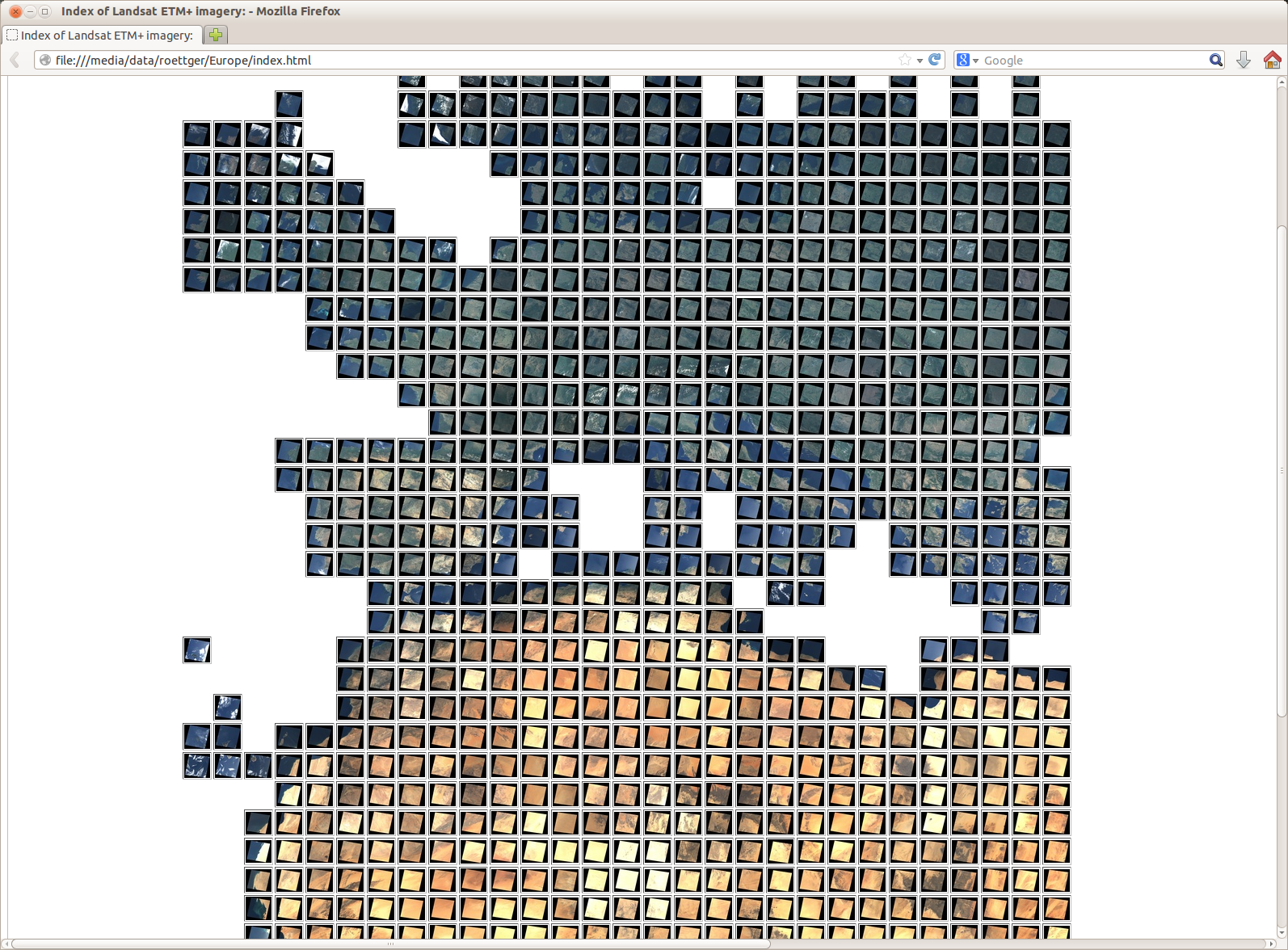
Europe-wide browsable Landsat map (see here for more details on the map):
Europe-wide browsable Landsat topography map:
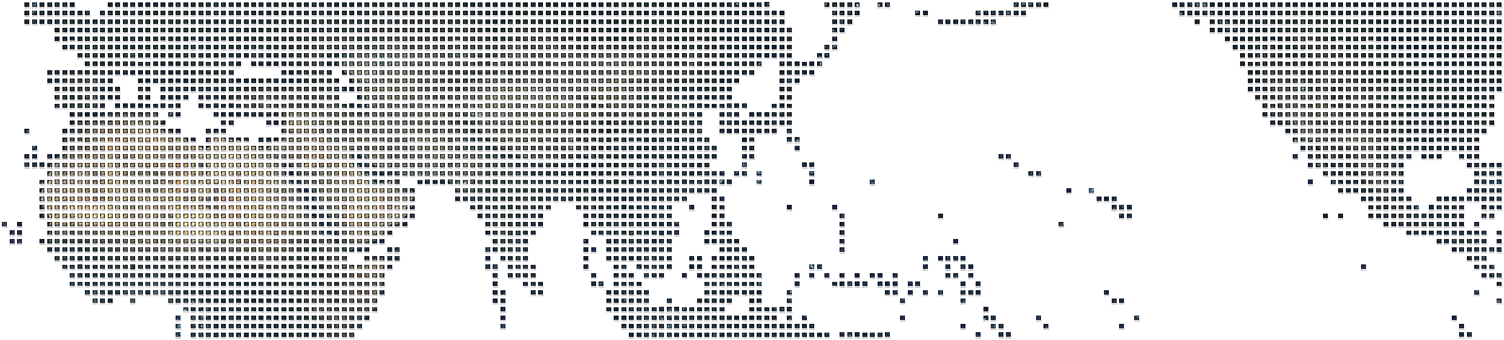
World-wide browsable Landsat map (caution: huge map, please be patient, see here for more details on the map):